Best biking tracks in the Timaru District
The Timaru District has a fantastic range of biking tracks. From beautiful coastal trails to tracks through native bush, there are plenty of places to explore. With a great range of trails for beginners to advanced riders, there are biking tracks to suit everyone.
Dashing Rocks
Distance: 4.2km
Walking time: 1 hour
Difficulty: Easy + gradual inclines
Located in the heart of the city, this walk is easy to find. Make your way to Caroline Bay and follow the signs.
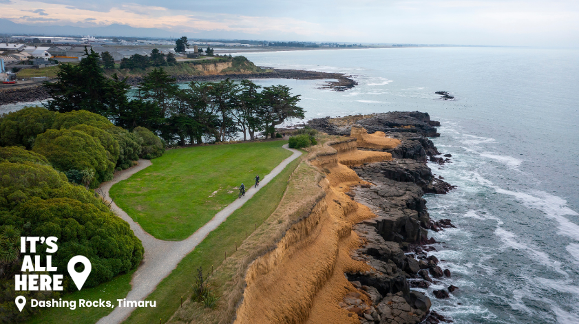
Experience the beauty of Timaru’s coastline, enjoying panoramic views over Caroline Bay, wandering over ancient lava flows and examining the rocky cliffs that proved treacherous for early shipping.
Set off on this loop walk from beautiful Caroline Bay, wander the Benvenue Cliffs past the historic Blackett’s Lighthouse, and the site of ancient shipwrecks.
Click here for the map and more information about the track.
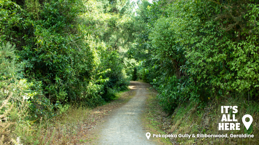
Pekapeka Gully & Ribbonwood
Distance: Ribbonwood track – 4.5kms
Pekapeka Gully – 3.8kms
Walking time: 1 hour each
Difficulty: Medium
Nestled up above the Geraldine township, the Riddells Reserve can be accessed from multiple points.
Ribbonwood track starts with a steep climb with rewards of breathtaking views across Geraldine. Along the way, you can enjoy paddocks to the left and bush and mountains to the right. The climb provides a rewarding view over the plains below. Carry onto Ribbonwood Road and then turn left onto Pye Road and Davies Street until you reach the beginning.
Pekapeka Gully track is named after the rare native Long Tailed Bat (Pekapeka) which inhabits the area. The tiny bats (which are the size of your thumb), can occasionally be spotted in the evenings. Start at the end of Hislop Street and follow the track up and over the ridge.
This is a steep grade going up and down but rewarded by a good view at the top. It is suitable for fit mountain bikers and walkers.
Click here for the map and more information about the track.
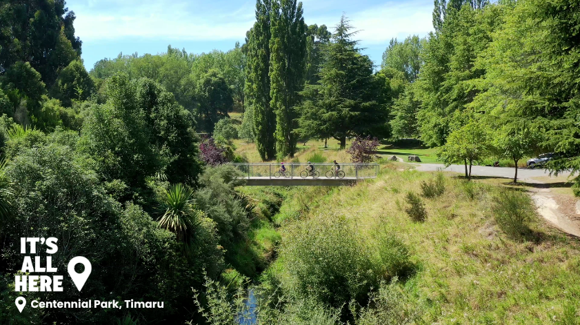
Centennial Park
Distance: 5kms
Walking time: 1 hour
Difficulty: Easy + gradual inclines
Centennial Park is located to the Southern side of Timaru City. Follow Church Street from the city centre to the start of the park.
Centennial Park spans 65 hectares at the edge of the Timaru City limits. In the heart of the park, you’ll find the Centennial Park Lake recreational area. It has ample parking for cars, an expansive sheltered picnic area, BBQs, children’s playgrounds and toilet facilities.
A variety of tracks span out around the park to offer a fantastic range of trails for walkers, runners, mountain bikers and amblers. Some of the tracks are shared use for walkers and bikers, while others are exclusively for mountain bikers and cover a range of terrains, for bikers of all abilities.
Click here for the map and more information about the track.
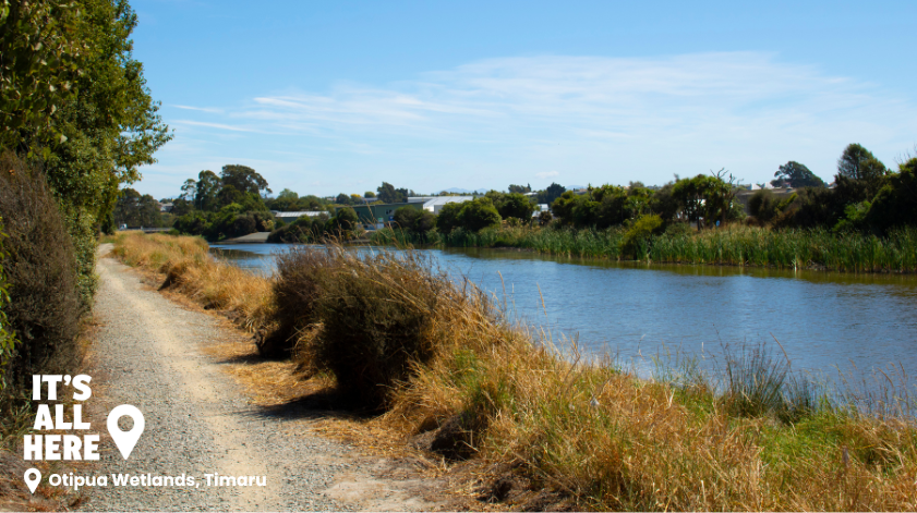
Otipua Wetlands
Distance: 4kms
Walking time: 1 hour
Difficulty: Easy
The Otipua Wetlands walk starts at Saltwater Creek along King Street/SH 1 at the south end of Timaru city.
Embark on a journey through the captivating Timaru Otipua Wetlands, where nature’s beauty unfolds at every turn. Immerse yourself in the lush greenery of native trees, tussocks, and sedges, creating a haven for local flora and fauna.
The well-formed gravel tracks that wind gracefully around the four-hectare lake, offering picturesque views and serene moments of reflection. Marvel at the diverse array of native birdlife that call this wetland sanctuary home, from majestic swans to elegant royal spoonbills.
Click here for the map and more information about the track.
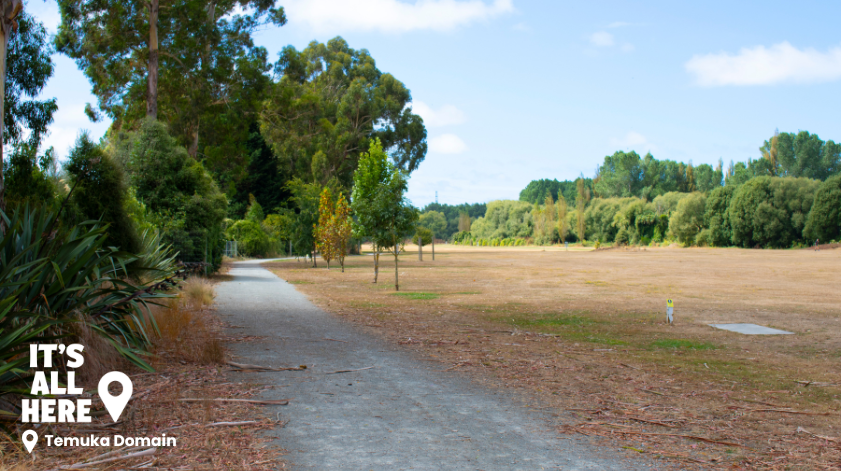
Temuka Domain
Distance: 3.5kms
Walking time: 1 hour
Difficulty: Easy
Start at the Domain entrance beside the Temuka Police Station and walk through to Torepe Fields which features an off-lead dog exercise area and frisbee golf course. Carry on through Torepe Fields and behind the golf course before returning to Domain Avenue for a stunning walk through the tall gum trees back to the start.
Click here for the map and more information about the track.
Tuhawaiki (Jack’s) Point
Distance: 5kms
Walking time: 1 hour
Difficulty: Moderate
From Timaru city, head south along SH1. The track can be accessed from either Scarborough Road or Ellis Road directly off the state highway.
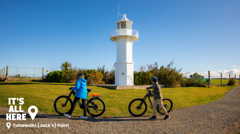
This walk follows the coast past the historic Tuhawaiki (Jack’s) Point Lighthouse, and offers spectacular coastal views. About halfway, you’ll find the Tuhawaiki (Jack’s) Point Lighthouse. The lighthouse was constructed on site in 1903 by the Timaru harbour board. It was built to overcome the ineffectiveness of the harbour light. The lighthouse originally resided on Somes Island in 1866.
It’s a 5km return trip if you walk to either end, or just walk out to the lighthouse and back for a shorter stroll.
Click here for the map and more information about the track.
Central South Trail
Distance: Timaru to Pleasant Point 14kms
Pleasant Point to Cave 15kms
Biking time: 1 hour 30 minutes Timaru - Pleasant Point
1 hour Pleasant Point - Cave
Difficulty: Easy - moderate
The trail in Washdyke starts at Sir Basil Arthur Park, and the trail in Pleasant Point starts at Pleasant Point Town Square.
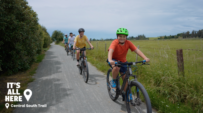
The trail starts in Washdyke, North of Timaru and meets up to Pleasant Point. The Pleasant Point to Cave section has just opened, so you could bike all the way from Timaru to Cave. It is suitable for all ages, and a great way to see of the best scenery that the South Island had to offer. The 3 sections are Timaru to Pleasant Point, Pleasant Point to Fairlie, and finally Fairlie to Tekapo. Linking with the Alps 2 Ocean trail and other trails along the way.
Click here for the map and more information about the track.
Want more trails?
View the full list of trails in the Timaru District here or download the Timaru Trails app.
Bike hire
If you are wanting to hire a bike while in the area, there are plenty of places to do so. With both standard push bikes and e-bikes available, you will be able to get the whole family out enjoying the sights. Hire a bike from the following places:
