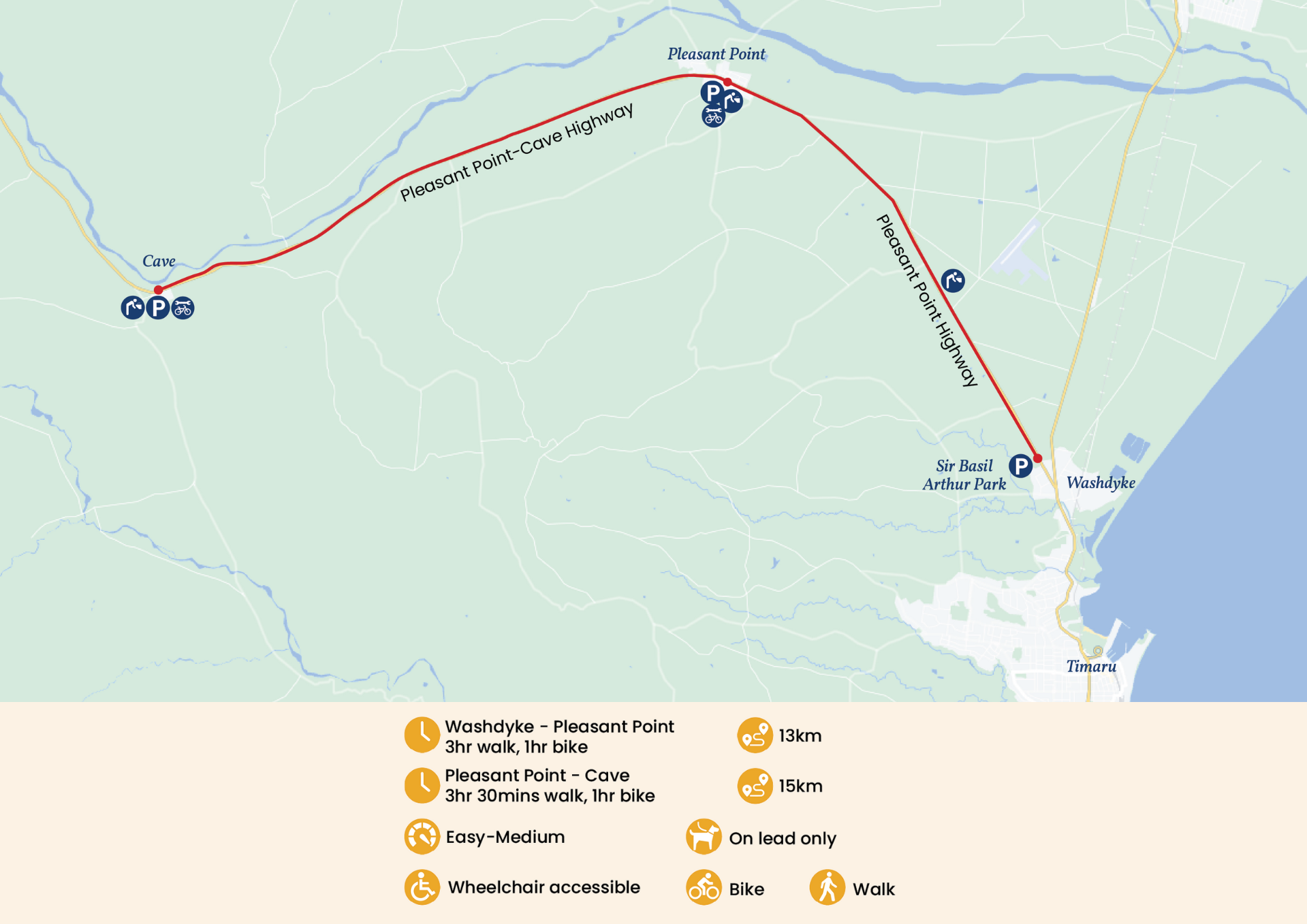
Central South Island Trail - South Canterbury Portion
Track Description
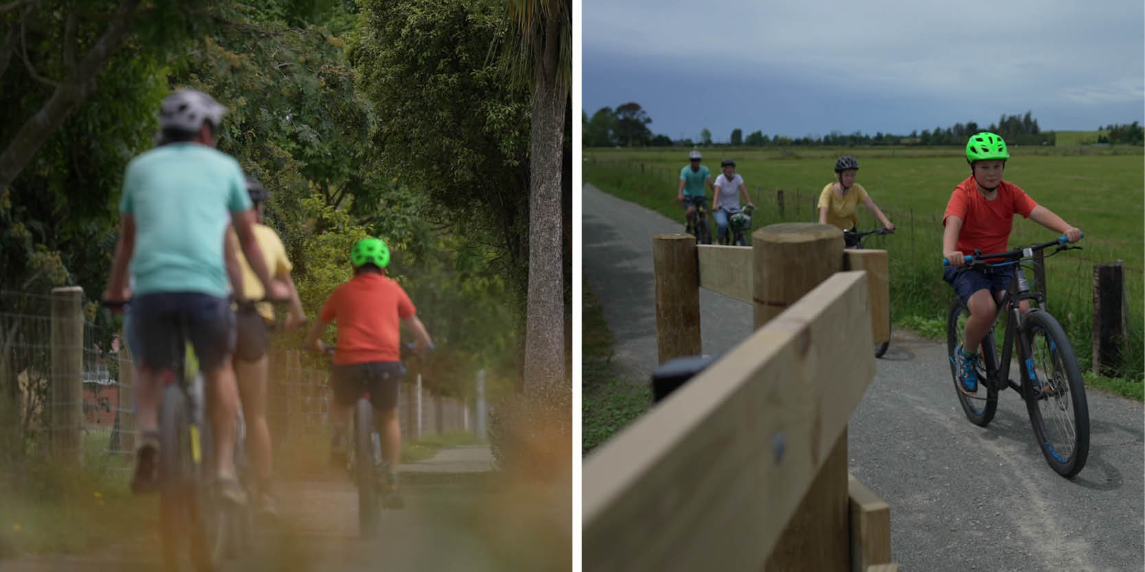
This easy track is a great way to see some of the best scenery that the South Island has to offer. The Central South Trail takes you along the countryside from the seaside town of Timaru, through Pleasant Point to Cave via State Highway 8. Bike the Timaru to Cave trail stopping at Pleasant Point along the way.
Start the trail from Timaru at Sir Basil Arthur Park in Washdyke, or the other end at Cave. If you want to do half the trail, start or end at Pleasant Point’s Town Square. It is suitable for all ages.